Cumberland River Crossings
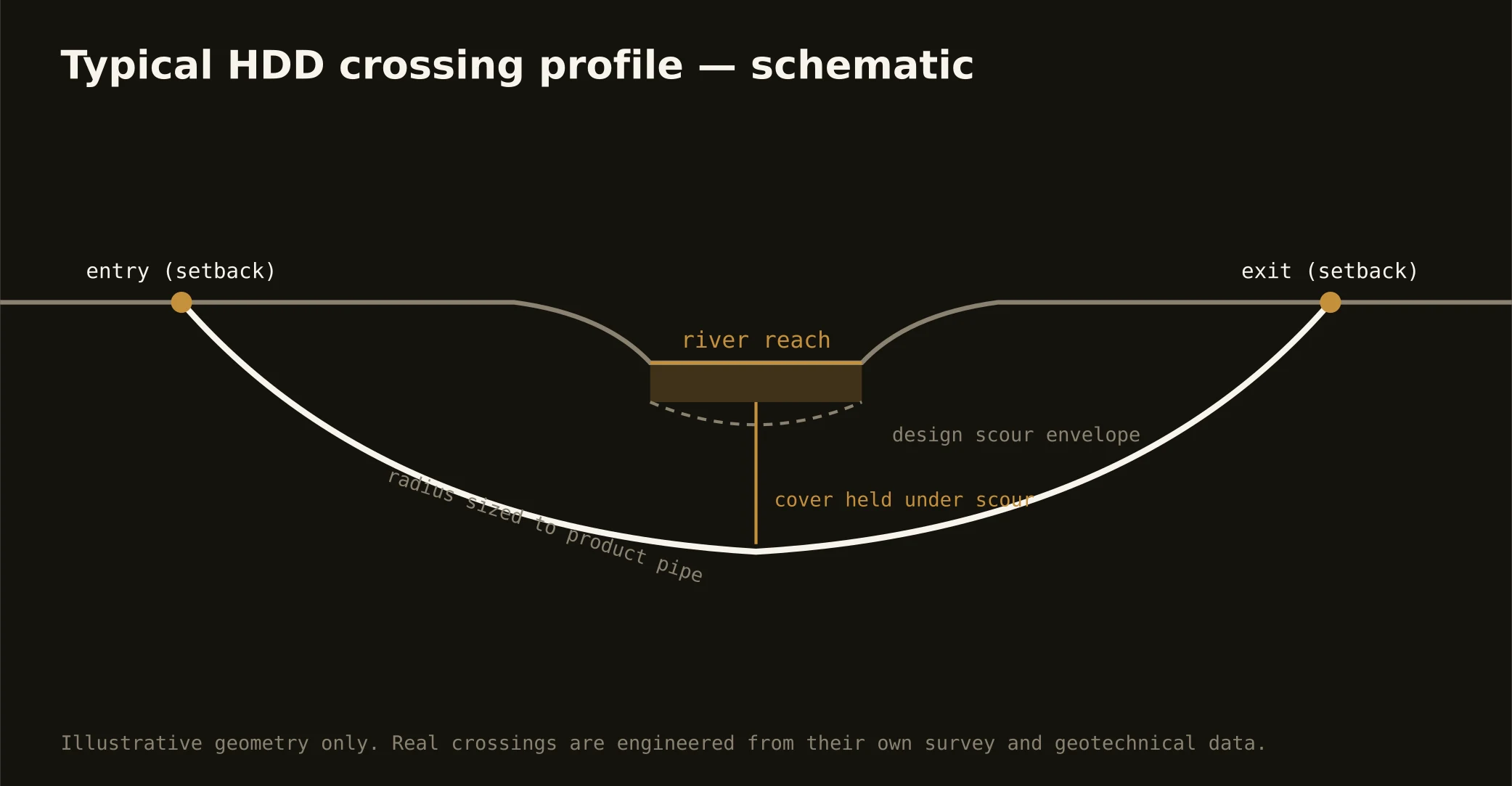
The Cumberland bends through the metro's heart — a navigable, dam-regulated river with barge traffic, managed pools, and the city's skyline on its banks — and crossing it is the signature Middle Tennessee bore. These are engineered rock shots: setback entry and exit above the bank, a profile drilled through limestone below the navigation channel's design section, and the precision that consistent rock rewards when the geotech has done its work.
The authority stack fits a working river: federal navigation and water-resource review on the channel, the pool's managing interests, state water-quality oversight, and the road or rail owner overhead. Metro riverfront segments add the city's own layered approvals. Our quotes name the full stack and carry its longest honest clock — on a navigable river, the permit program is the schedule's spine.
The same doctrine covers the metro's other named water — the Stones through Rutherford's growth belt, the Harpeth winding Williamson's, the Duck at the southern edge — where state scenic-river and water-quality rules join the owners. Rock profiles, contained fluid, written response plans: the basin's standards travel with the water.